
Tutbury Street Names - old and new
|
<<< Click on map to see location of modern streets |
|---|---|
Burton Street
|
Associated with the Burton family who owned Fauld Hall and a house in Tutbury called Burton Hall. Oliver Burton was steward of the Manor of Tutbury in the time of Richard ll (1377-99). William Burton was standard bearer to Henry Vl during the French wars. |
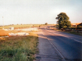
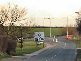
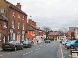
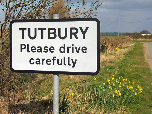
Portway Became A50 - Now the A511
|
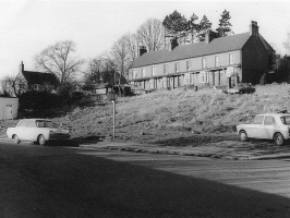
The turnpike road between Tutbury and Burton, so called because it was the pack road over which mule trains carried wood and other goods. (French porter = to carry). Called ‘The Street’ in 942AD, supporting the argument that this follows the line of a Roman road, which by tradition ran from Branston, by way of Castleway Baulk in Shobnall and across the Horninglow Moors. The Portway Cross stood at the junction of Dodslow Lane, Portway and Longhedge Lane. Crosses marked boundary points where no natural landmark was available. In the 18th cent the toll gate stood at Burton St and Ironwalls Lane. Top photo taken during development of by-pass |
High Street
|
High indicating ‘most important’. Formally Market St after the medieval market held here on a Tuesday.
|
Cornmill Lane
|
After the Mill - Formally Mill Lane. |
Lower High Street
|
Formally Cheapside – with a connection with the market (in Old English, ‘ceap’ means to barter). Previously Dove St. |
Little Bridge |
Over the Fleam. |
Weir Lane |
Leads from Bridge St to the weir – now a footpath |
Bridge Street |
Leads to the bridge. |
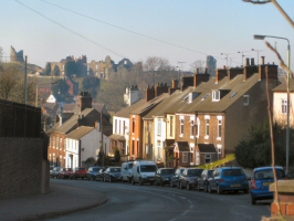
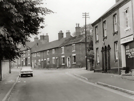
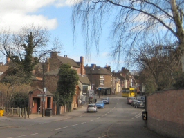
Monk Street
|
Reference to the monks at the Priory. Sometimes called Back St. Picture taken in the 1950s |
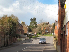
Church Street
|
Nearest street to the Church. Picture taken before building of Health Centre |
Duke Street
|
Formally Duck St. – reference to ducks on pond. Previously Brook St. |
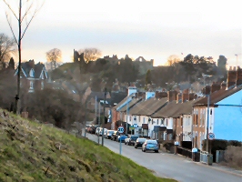
Castle Street
|
Nearest street to the Castle. |
Babington Lane |
After Anthony Babington, instrumental in the plot to rescue Mary Queen of Scots. Now Wakefield Avenue |
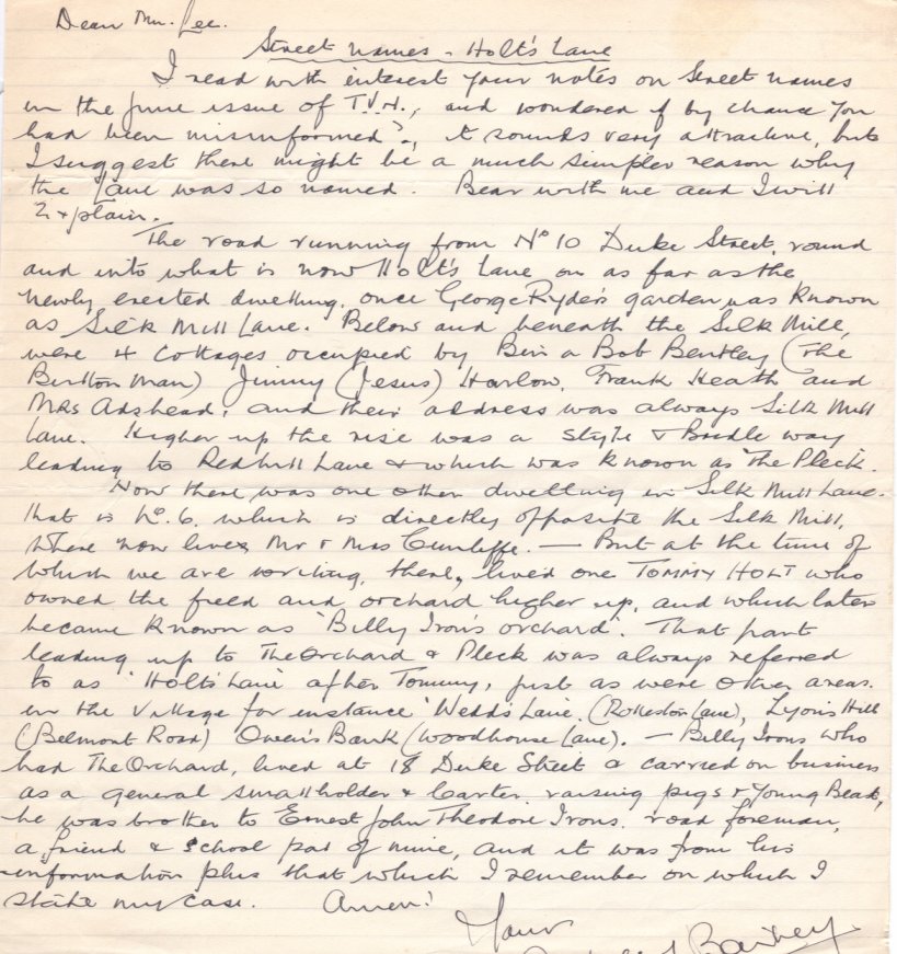
Holts Lane
Letter from Aubrey Bailey |
Assumed to be named after John Holt, Vicar of Tutbury. In 1478 he was sued for releasing his own cattle (that had strayed on unfenced common land) from the pound at Hanbury without paying the fine - a serious offence at the time. |
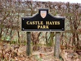
Park Lane
|
Reference to Park Pale or Castle Hay Park. Runs along the line of the Iron Age Walls. |
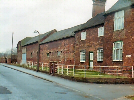
Ludgate Street
|
Formally Lydgate Street because it ran to the ‘Lyd’ Gate in the town wall. Very narrow and typical of a medieval town street. Picture taken before farm demolished |
Iron Walls |
Runs along the line of the Iron Age Walls. |
Green Lane |
|
Red Hill Lane |
|
Castle Hay Lane
|
Castle Hay ( = The Hay of the Earl) owned by Robert de Ferrers around
1139. |
Clay Pit Lane |
|
Cock Shoot Lane |
|
Barn Close Lane |
|
Woodingway Lane |
|
Bushton Lane |
Leads to Bushton |
Fauld Lane |
Leads to Fauld, formally Woodhouse Lane. |
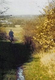
Mill Way Baulk
|
(or Cornmill Baulk) and now a footpath between Cornmill Lane and Burton St. Part of the continuous path around outer walls and possibly the oldest footpath in England. |
Hilly Field Lane |
|
Rolleston Lane |
|
Rolleston Park Lane |
|
Fiddlers Lane |
|
Pinfold Close |
A pound for stray cattle. |
Priory Close |
Commemorates the Priory. |
Lancaster Drive |
Reference to House of Lancaster. |
Norman Road |
Reference to Norman Lords. |
Queen’s Rise |
Reference to Mary Queen of Scots. |
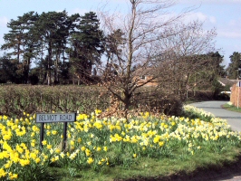
Elm Lane, Forest Road and Belmont Lane
|
Now Belmot Road The old house was 'The Elms' on this site, opposite was the stables. Leading to Belmot Common, Gate and Farm. Leads to Needwood Forest. |
Silk Mill Lane |
Near the former silk mill. |
Wakefield Ave |
Reference to Richard Wakefield |
Needwood Court |
Reference to Forest of Needwood. |
Fishpond Lane |
Medieval fishpond here – formally The Croft. |
Ferrers Ave |
After the De Ferrers family, first Norman Lords of the Manor. |